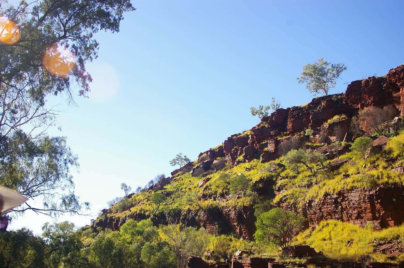
The Pilbara is a vast region of red earth, spinifex and ancient ranges in Western Australia's north-west. Its rocks are among the oldest on Earth, and its gorges, waterholes and rock art make it one of the state's most rewarding destinations. Karijini National Park, in the Hamersley Range, is the region's best-known attraction, with deep gorges, waterfalls and swimming pools set in rugged red country.
This guide covers getting there, Karijini's main gorges and trail classes, safety in heat and flash floods, other Pilbara highlights and when to go.
Apr–Sep
Best months
Cooler and drier
40°C+
Common summer heat
Plan around it
Hamersley Range
Karijini's setting
Deep gorges and waterfalls
Getting there
Karijini is a long way from Perth, around 1,400 to 1,500 km by road. The most direct route is the Great Northern Highway via Newman. Many travellers combine Karijini with Ningaloo and the Coral Coast in a large loop. Towns near the park include Tom Price, Paraburdoo and Newman, which have fuel, supermarkets and accommodation. There are flights from Perth to nearby regional airports.
Karijini National Park
Karijini is one of Western Australia's largest national parks, jointly managed by Parks and Wildlife Service WA and Traditional Owners. Its main areas are:
Dales Gorge. Close to the Karijini Visitor Centre, Dales Gorge has Fortescue Falls, a terraced waterfall over layered rock, and Fern Pool, a shady swimming spot fed by springs. Circular Pool lies further along the gorge. Walking trails link the rim and the gorge floor.
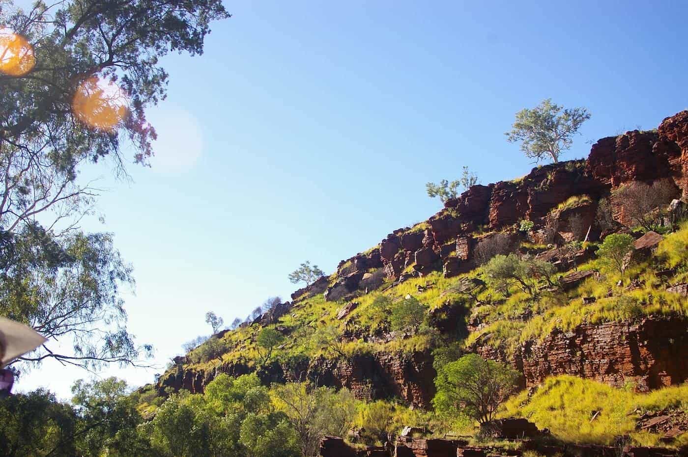
Weano and Hancock gorges. In the park's west, these narrow gorges include some of Karijini's most spectacular and challenging walks. Oxer Lookout gives views where four gorges meet. Some sections involve wading, scrambling and climbing.
Joffre and Knox gorges. Lookouts give views into deep, curved gorges. Trails into the gorges are steep and challenging.
Hamersley Gorge. In the park's north-west, Hamersley Gorge has dramatically folded rock layers and a pool and waterfall.
Punurrunha (Mount Bruce). One of the highest peaks in Western Australia, with a long, challenging walk to the summit.
Trail classes
Trails in Karijini are graded by class, from easy walks on formed paths to very difficult routes requiring climbing, wading and swimming through cold water. Read the trail signs and park information, and choose trails that match your fitness, experience and equipment. Some trails are only for experienced walkers, and some areas beyond certain points are closed to the public.
Gorge safety
Karijini's gorges are beautiful but can be dangerous. People have died and been seriously injured.
- Flash floods. Rain, even far upstream, can send water surging through gorges. Don't enter gorges if rain is forecast or falling, and leave immediately if water levels rise.
- Slippery rock. Wet, smooth rock is very slippery. Wear shoes with good grip.
- Cold water. Water in the gorges can be very cold. Hypothermia is a risk if you're wet for long periods.
- Heat. Carry plenty of water, start early and rest in the shade.
- Falls. Stay on marked trails and behind barriers at lookouts.
- Rescue. Rescue from gorges is slow and difficult. Walk with others and tell someone your plans.
Other Pilbara highlights
Millstream Chichester National Park. The Fortescue River's spring-fed pools at Millstream form a lush oasis, while the Chichester Range has rugged scenery and Python Pool, a deep plunge pool at the foot of a cliff.
Murujuga. On the Burrup Peninsula near Karratha, Murujuga holds one of the world's largest concentrations of rock art, with engravings created over tens of thousands of years. The Murujuga Cultural Landscape was added to the World Heritage List in 2025. Visit respectfully and stay on marked paths.
Port Hedland and Karratha. The region's main towns are working mining and port centres with services, accommodation and flights.
When to go
The Pilbara has a hot, semi-arid climate.
- April to September is the best time to visit, with warm days and cool to cold nights.
- October to March is very hot, with temperatures often above 40°C. Storms and cyclones can cause flooding and road and park closures.
Check the Bureau of Meteorology for warnings and Parks and Wildlife Service WA for park alerts.
Karijini trip checklist
0 of 8 done
Ticks are saved in this browser only.
Driving in the Pilbara
Roads in the Pilbara carry mining traffic and road trains. Distances are large and fuel is limited, so fill up at every opportunity. Unsealed roads can be corrugated and dusty. Avoid driving at night, when cattle and kangaroos are on the road. Check Main Roads WA for closures, especially after rain.
Camping and accommodation
The park has campgrounds, including Dales Campground, which can be booked online. Accommodation options inside the park are limited, so book well ahead in the cooler months. Nearby towns have motels, caravan parks and other accommodation.
Respecting country
Karijini is the country of the Banyjima, Kurrama and Innawonga peoples. Some areas are culturally significant; respect signs asking visitors not to swim, climb or enter certain places. Don't disturb rock art or cultural sites.
Common mistakes
- Visiting in summer without planning for extreme heat.
- Attempting trails beyond your ability.
- Entering gorges when rain threatens.
- Running low on fuel between towns.
What to pack for the gorges
- Sturdy shoes with good grip that can get wet.
- A small daypack with water, snacks and a first aid kit.
- A dry bag for phones and cameras on walks involving wading.
- Swimmers and a quick-dry towel.
- A warm layer for cold water and shaded gorge floors.
Photography and drones
The gorges and lookouts are popular for photography, especially in early morning and late afternoon light. Drone use is restricted in national parks; check Parks and Wildlife Service WA rules before flying.
Wildlife
Karijini's wildlife includes rock-wallabies, red kangaroos, euros, echidnas, many bird species and reptiles. Keep your distance, don't feed animals, and store food securely at camp.
Key points
Karijini's gorges are among Western Australia's great natural wonders, about 1,400 to 1,500 km north of Perth. Visit between April and September, choose trails that match your ability, never enter gorges in rain, carry water and fuel, and respect Traditional Owners' country.
Frequently asked questions
How far is Karijini from Perth?
Karijini is roughly 1,400 to 1,500 km north of Perth by road, depending on route. Most people drive via the Great Northern Highway or combine Karijini with a trip to Ningaloo. Flights to Paraburdoo, Newman or Karratha are another option.
When is the best time to visit Karijini?
The cooler, drier months from about April to September are best. Summer temperatures in the Pilbara regularly exceed 40°C, and summer storms and cyclones can cause flash flooding and closures.
Are Karijini's gorges dangerous?
Some can be. Gorges involve slippery rock, climbing, cold water and the risk of flash flooding. People have died and been seriously injured in Karijini's gorges. Choose trails that match your ability, follow signs, never enter restricted areas and leave if rain threatens.
Can I swim in Karijini?
Yes. Several pools, such as Fern Pool and the pools in Dales Gorge, are popular swimming spots. The water can be very cold, so don't swim if you're not confident, and stay out of the water at Fern Pool's sacred area as signposted.
Do I need a four-wheel drive?
The main roads into Karijini and to Dales Gorge are sealed, but some park roads are unsealed and can be rough or corrugated. A two-wheel-drive vehicle can reach many areas in dry conditions; check road conditions before you go.
Who are the Traditional Owners of Karijini?
Karijini is the country of the Banyjima, Kurrama and Innawonga (Yinhawangka) peoples, who continue to care for the land. The park is jointly managed with Traditional Owners.
Sources and further reading
Facts on this page were checked against these primary and official sources. Conditions change — confirm before you travel or buy.
- Karijini National Park — Parks and Wildlife Service WA
- Millstream Chichester National Park — Parks and Wildlife Service WA
- Murujuga Cultural Landscape — UNESCO World Heritage Centre
- Climate and warnings — Bureau of Meteorology